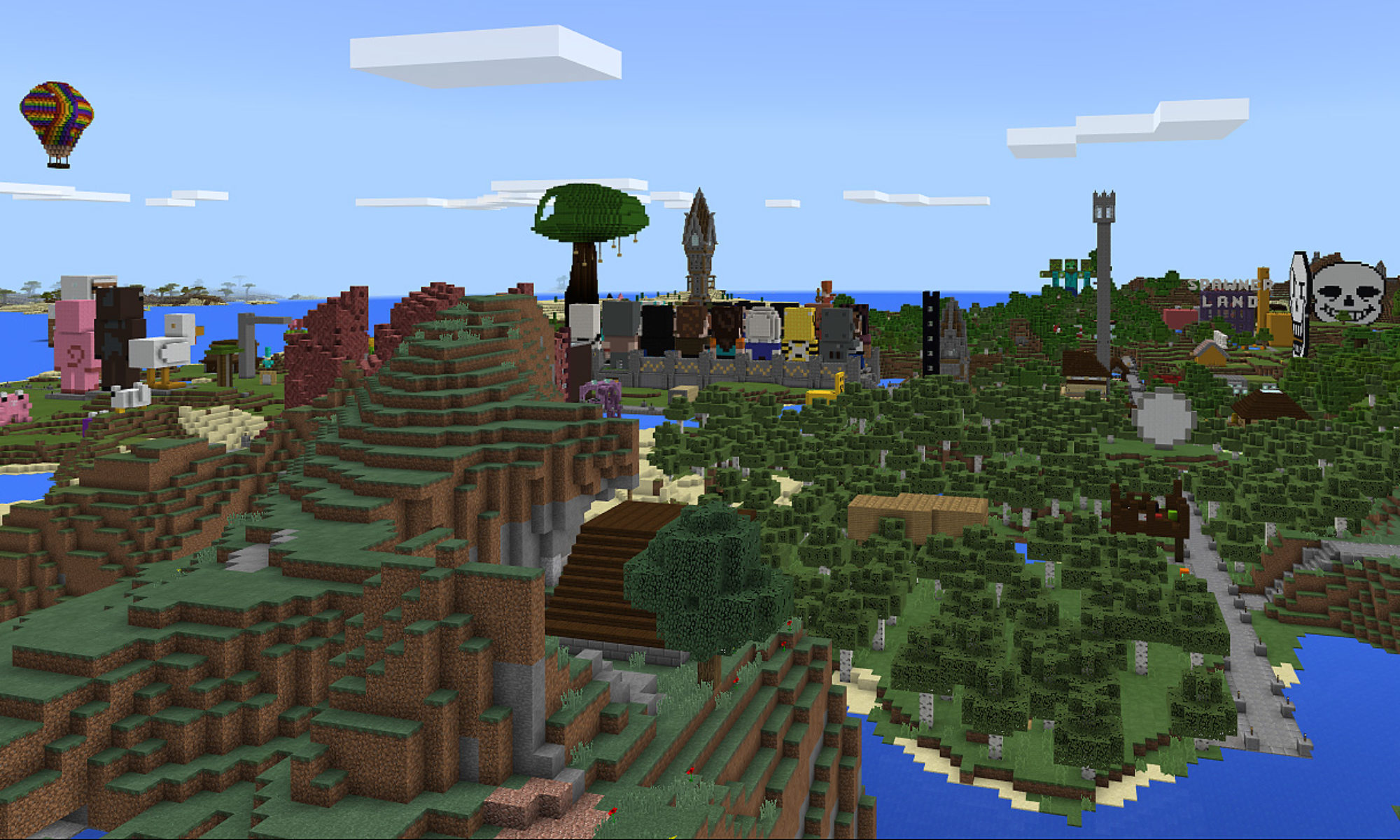
When we last left your fearless leader, I was gleefully sorting through oodles of generated maps of ARBTServer and squeeing about finally having a world map after waiting a year and a half. I haven’t budged much from there, really. The interactive tools are really informative, since you can browse the maps by dimension, depth, etc once MCPE Viz crunches out all the pictures it’s capable of making. I really want to share ours, but unfortunately this means I’ve been spending large portions of the last couple of days cropping the generated overworld graphics down to a manageable size, because as generated they were well over 10000 pixels to a side and also well over 10MB a pop. Not exactly feasible – hell my husband’s brand new computer could barely handle browsing through these giant images and they were local to his machine. So I’ve been cropping them. The maps I’ve been showing around/ uploading skirt the dimensions of the known world; I figure when the builds edge farther than those boundaries we’ll start cutting it wider.
The other thing I’ve been doing is rotating the images 90 degrees clockwise, because according to how they come out, the sun rises in the north in Minecraft. (Come to think of it, that does explain why coordinates nver did quite make sense to me.) I’ve gotten used to orienting myself according to how the sun behaves on Earth, so I’ve been flipping the images on their “sides”. Cheating perhaps, but my world my rules, and if I want North to point upwards, by the Pants of the Server Mama it will.
The cropping and flipping process is tedious and slow because of the sheer whopping size of these pictures though – as it is I’ve only gotten from bedrock to “sea level” (lvl 62), though that may have been due to me looking at the level 62 map and thinking “ooh, continents.” Or at least very large islands separated by rivers?
Anyway long story short, there was a complete gear shift in what I was doing, and after tweaking colors, labels, edges, typefaces and various Photoshop effects, I came out with this.

When I was in middle school (back in the stone ages, practically) projects for history class often involved making maps or old fashioned letters by “aging” whatever paper we’d written or drawn on by first soaking it in old coffee, crumpling and smoothing it like 20 times, and then for that extra old document look, burning the edges with a match. That’s what I sorta wanted to evoke with this as well as it being a way to cover up the areas of missing/unexposed chunks. It didn’t quite mask it entirely, but it did work enough to get the suggestion across… and it looks awesome. BRB, changing my Facebook cover photo awesome, which says something considering the last time I changed it was when I finished Grand Central. But seriously though… I kinda want to get this printed and framed.
More map stuff later in the week!


